
How Country Draw works
Country Draw is the free practice mode of Draw the Border. Instead of a daily puzzle, you choose: search for a country by name, filter by continent, or press Random. The map centres on it and hides it under fog, and you draw the country from memory. Press Done to see the real outline over yours with a score out of 100, then press Next country for another random one. Open Country Draw without a link and it starts on a random country. Unlike the daily game, Country Draw lets you replay a country as often as you like.
There is no limit and no daily set. Country Draw offers all 169 countries, including 6 small ones the daily game leaves out, such as Bahrain, Brunei, Cyprus, and 16 countries with disputed borders that never appear in the daily puzzles. That makes Country Draw the only place on the site to practise Russia, India or China. Every border is the de facto line from Natural Earth.
Scores in Country Draw are just for you: they are not saved or added to anyone's stats, so it is the place to fail freely. Try Chile five times in a row, or work through a whole continent. Every country in the list below has its own Country Draw link, so you can bookmark the one you keep getting wrong.
Country Draw uses the daily game's rules: 60% for how close your line stays to the real border in kilometres, 25% for overlap and 15% for shape. The coastline counts, and islands under 2% of the country are optional in Country Draw too.
How much detail does a country drawing need?

A common worry in Country Draw is that you have to trace every fjord. You don't. We took Norway's real outline, simplified it to 8, 20 and 60 points, and scored each version with the Country Draw rules: 56, 75 and 88.
8 points give a rough sketch and already earn 56, the Navigator title. 20 points, enough to show the wide south and the narrow neck in the north, reach 75 (Surveyor). 60 points, with the main bays, get 88 (Cartographer). Going from 8 to 20 points is worth 19; the next 40 points add only 13. So in Country Draw, put your effort into the big turns first. After each try, Country Draw also shows your typical miss in kilometres, a handy number to beat on your next attempt.
These test outlines sit in exactly the right place at the right size. A hand drawing also loses points for position and size, so watch where the neighbours sit. Norway has one of the most indented coasts in Country Draw, so for most countries even fewer points go a long way.
Countries with near-identical outlines

Some countries really do look alike. We centred every outline in Country Draw, scaled it to the same size and measured how much each pair overlaps: every country of at least 10,000 km², 13,203 pairs in all. The five closest pairs, each country used once:
- Germany and Eswatini, 79% overlap. Germany is about 21 times the size of Eswatini, yet scaled down the two shapes nearly match.
- DR Congo and Kenya, 78% overlap. DR Congo is about 4 times the size of Kenya, yet scaled down the two shapes nearly match.
- Suriname and Zimbabwe, 76% overlap. Zimbabwe is about 3 times the size of Suriname, yet scaled down the two shapes nearly match.
- Angola and Uganda, 76% overlap. Angola is about 5 times the size of Uganda, yet scaled down the two shapes nearly match.
- Ivory Coast and Poland, 76% overlap. The two are close in size as well, so on a map without names they are easy to swap.
Lookalikes are useful in Country Draw: once you can draw one shape of a pair, you can draw the country that matches it with a few changes. In Country Draw the fog hides the shape, not the setting, and whether a country touches the sea or which neighbours surround it usually tells two lookalikes apart. Play these pairs back to back in Country Draw and compare the reveals.
Every country you can draw

Country Draw covers Africa 49, Asia 46, Europe 40, North America 16, South America 12, Oceania 6. Africa and Asia alone make up 95 of the 169. Use the continent filter in Country Draw to work through one region at a time, or open any country from the list below: each link starts Country Draw with that country already loaded, so you can also share it.
Size is no obstacle in Country Draw. The 6 smallest countries are under 10,000 km², and Country Draw zooms in so that their outline fills the screen just as Canada's does. Oceania has just 6 entries in Country Draw: most Pacific island nations are under 10,000 km², and none is among the few small countries we include. A note after a name, such as (metropolitan) or (contiguous), means you draw only the main territory: France without its overseas regions, the United States without Alaska and Hawaii.
Africa
Algeria · Angola · Benin · Botswana · Burkina Faso · Burundi · Cameroon · Central African Republic · Chad · Djibouti · DR Congo · Egypt · Equatorial Guinea · Eritrea · Eswatini · Ethiopia · Gabon · Gambia · Ghana · Guinea · Guinea-Bissau · Ivory Coast · Kenya · Lesotho · Liberia · Libya · Madagascar · Malawi · Mali · Mauritania · Morocco · Mozambique · Namibia · Niger · Nigeria · Republic of the Congo · Rwanda · Senegal · Sierra Leone · Somalia · South Africa · South Sudan · Sudan · Tanzania · Togo · Tunisia · Uganda · Zambia · Zimbabwe
Asia
Afghanistan · Armenia · Azerbaijan · Bahrain · Bangladesh · Bhutan · Brunei · Cambodia · China · Georgia · India · Indonesia · Iran · Iraq · Israel · Japan · Jordan · Kazakhstan · Kuwait · Kyrgyzstan · Laos · Lebanon · Malaysia · Mongolia · Myanmar · Nepal · North Korea · Oman · Pakistan · Philippines · Qatar · Saudi Arabia · Singapore · South Korea · Sri Lanka · Syria · Taiwan · Tajikistan · Thailand · Timor-Leste · Türkiye · Turkmenistan · United Arab Emirates · Uzbekistan · Vietnam · Yemen
Europe
Albania · Austria · Belarus · Belgium · Bosnia and Herzegovina · Bulgaria · Croatia · Cyprus · Czechia · Denmark · Estonia · Finland · France (metropolitan) · Germany · Greece · Hungary · Iceland · Ireland · Italy · Kosovo · Latvia · Lithuania · Luxembourg · Moldova · Montenegro · Netherlands · North Macedonia · Norway (mainland) · Poland · Portugal (mainland) · Romania · Russia · Serbia · Slovakia · Slovenia · Spain · Sweden · Switzerland · Ukraine · United Kingdom
North America
Bahamas · Belize · Canada · Costa Rica · Cuba · Dominican Republic · El Salvador · Guatemala · Haiti · Honduras · Jamaica · Mexico · Nicaragua · Panama · Trinidad and Tobago · United States (contiguous)
South America
Argentina · Bolivia · Brazil · Chile · Colombia · Ecuador (mainland) · Guyana · Paraguay · Peru · Suriname · Uruguay · Venezuela
Oceania
Australia · Fiji · New Zealand · Papua New Guinea · Solomon Islands (main islands) · Vanuatu
Draw country from memory: a practice routine
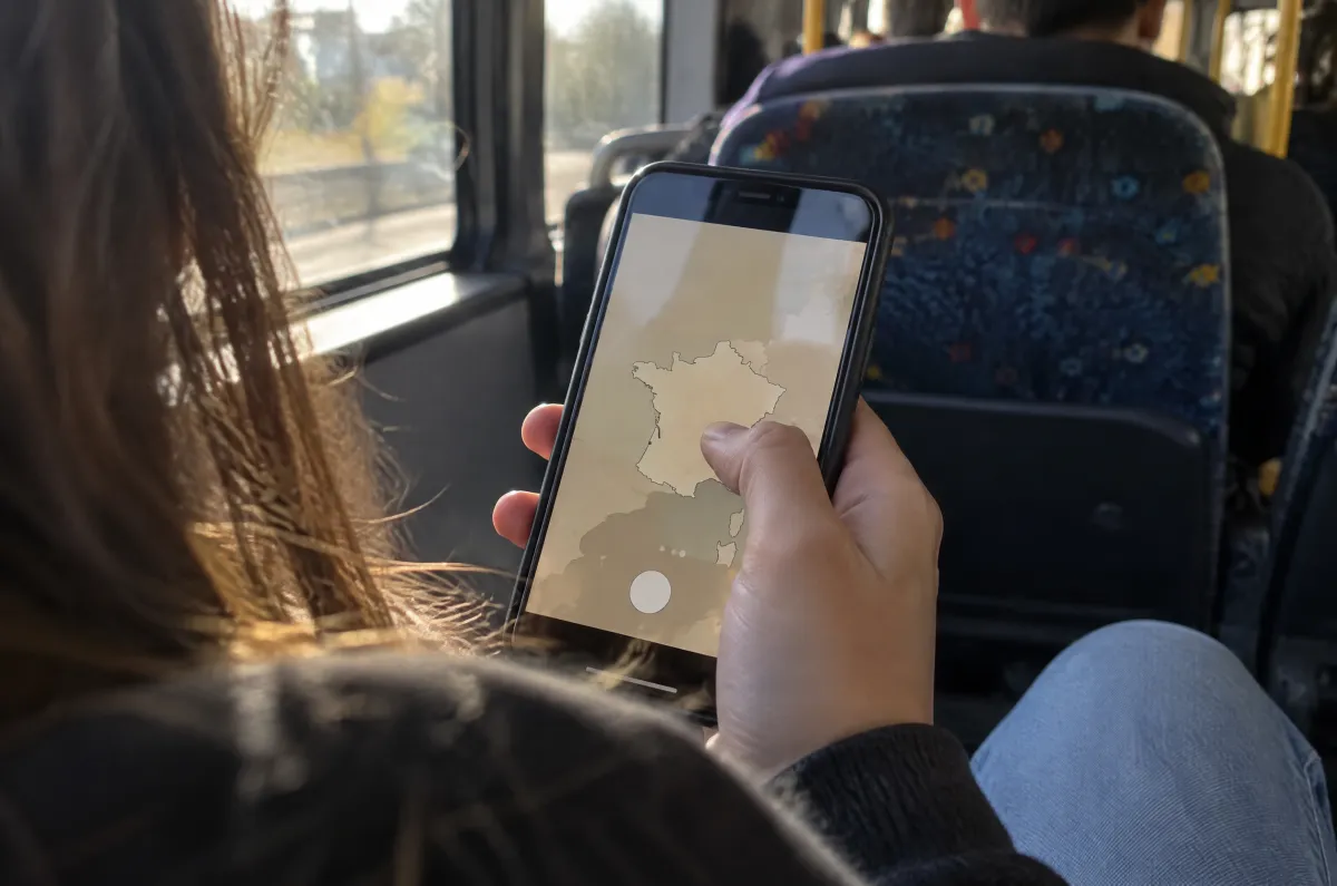
If you want to draw countries from memory, Country Draw works best as a short routine rather than a marathon:
- Name the neighbours first. Before you draw the country, list its neighbours in order around it. They tell you where the outline must bend.
- Use the sea grid. Faint 10° lines show over the sea in Country Draw; note where they meet the coast near the fog.
- Work in short sets. Pick five countries from one continent in Country Draw, then play the same five again. The second round is where shapes stick.
- Read the reveal, not just the score. Note where your line drifted out to sea or cut into a neighbour, then search Country Draw for the same country and try again.
- Add a lookalike. After a country, search Country Draw for its twin from the list above and draw it straight away.
- Test yourself. When a region feels solid, play the daily Draw the Border, where each country comes once, or try the Between mode for the lines between neighbours.
Country Draw FAQ
Can I choose which country to draw?
Yes. Search for any country, filter by continent, or press Random. Every country is unlimited and free.
Why are some countries labelled “mainland”?
For countries with distant territories, such as France or the United States, you draw the main territory only; distant islands and territories are not scored.
Are my Country Draw scores saved?
No. Country Draw is practice: your scores are not saved or added to anyone’s stats.
Does Country Draw work on a phone?
Yes. Country drawing works with one finger; a quick upward or downward flick scrolls the page, two fingers zoom, and the ⤢ button opens a full-screen map.
Where does the map data come from?
Natural Earth, a public-domain map dataset, at its most detailed 1:10m scale.